Choose Which Site You Want To See


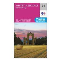
Ordnance Survey Landranger 94 Whitby, Esk Dale & Robin Hood\'s Bay Map With Digital Version, Orange: The OS Landranger Map is the ideal map for planning the perfect day out. This best known national map series provides...

Ordnance Survey Landranger 91 Appleby-in-westmorland Map With Digital Version, Orange: The OS Landranger Map is the ideal map for planning the perfect day out. This best known national map series provides...
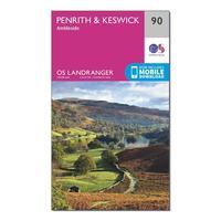
Ordnance Survey Landranger 90 Penrith & Keswick, Ambleside Map With Digital Version, Orange: The OS Landranger Map is the ideal map for planning the perfect day out. This best known national map series provides...
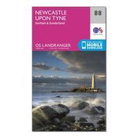
Ordnance Survey Landranger 88 Newcastle Upon Tyne, Durham & Sunderland Map With Digital Version, Orange: The OS Landranger Map is the ideal map for planning the perfect day out. This best known national map series provides...
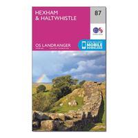
Ordnance Survey Landranger 87 Hexham & Haltwhistle Map With Digital Version, Orange: The OS Landranger Map is the ideal map for planning the perfect day out. This best known national map series provides...
Ordnance Survey Landranger 86 Haltwhistle & Brampton, Bewcastle & Alston Map With Digital Version, Orange: The OS Landranger Map is the ideal map for planning the perfect day out. This best known national map series provides...
Ordnance Survey Landranger 85 Carlisle & Solway Firth, Gretna Green Map With Digital Version, Orange: The OS Landranger Map is the ideal map for planning the perfect day out. This best known national map series provides...
Ordnance Survey Landranger 84 Dumfries & Castle Douglas Map With Digital Version, Orange: The OS Landranger Map is the ideal map for planning the perfect day out. This best known national map series provides...
Ordnance Survey Landranger 99 Northallerton & Ripon, Pateley Bridge & Leyburn Map With Digital Version, Orange: The OS Landranger Map is the ideal map for planning the perfect day out. This best known national map series provides...

Ordnance Survey Landranger 98 Wensleydale & Upper Wharfedale Map With Digital Version, Orange: The OS Landranger Map is the ideal map for planning the perfect day out. This best known national map series provides...
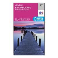
Ordnance Survey Landranger 97 Kendal, Morecambe, Windermere & Lancaster Map With Digital Version, Orange: The OS Landranger Map is the ideal map for planning the perfect day out. This best known national map series provides...
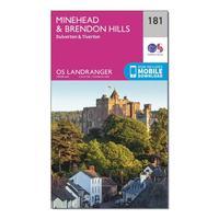
Ordnance Survey Landranger 181 Minehead & Brendon Hills, Dulverton & Tiverton Map With Digital Version, Orange: The OS Landranger Map is the ideal map for planning the perfect day out. This best known national map series provides...
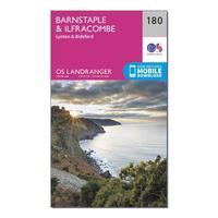
Ordnance Survey Landranger 180 Barnstaple & Ilfracombe, Lynton & Bideford Map With Digital Version, Orange: The OS Landranger Map is the ideal map for planning the perfect day out. This best known national map series provides...
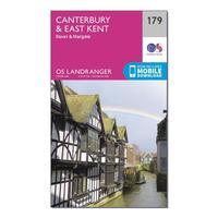
Ordnance Survey Landranger 179 Canterbury & East Kent, Dover & Margate Map With Digital Version, Orange: The OS Landranger Map is the ideal map for planning the perfect day out. This best known national map series provides...
Ordnance Survey Landranger 175 Reading, Windsor, Henley-on-thames & Bracknell Map With Digital Version, Orange: The OS Landranger Map is the ideal map for planning the perfect day out. This best known national map series provides...
Ordnance Survey Landranger 193 Taunton & Lyme Regis, Chard & Bridport Map With Digital Version, Orange: The OS Landranger Map is the ideal map for planning the perfect day out. This best known national map series provides...
Ordnance Survey Landranger 192 Exeter & Sidmouth, Exmouth & Teignmouth Map With Digital Version, Orange: The OS Landranger Map is the ideal map for planning the perfect day out. This best known national map series provides...
Ordnance Survey Landranger 191 Okehampton & North Dartmoor Map With Digital Version, Orange: The OS Landranger Map is the ideal map for planning the perfect day out. This best known national map series provides...
Ordnance Survey Landranger 190 Bude & Clovelly, Boscastle & Holsworthy Map With Digital Version, Orange: The OS Landranger Map is the ideal map for planning the perfect day out. This best known national map series provides...
Ordnance Survey Landranger 189 Ashford & Romney Marsh, Rye & Folkestone Map With Digital Version, Orange: The OS Landranger Map is the ideal map for planning the perfect day out. This best known national map series provides...
